

AGMAPS are a collection of CDs with interactive maps and reports which were published by the Department of Agriculture and Food, Western Australia prior to 2010. These published archival CDs (put in a large zip folder) use html to navigate maps and reports. When downloaded and placed on a hard drive in one location they work by clicking on start.htm. In 2015 it was briefly tested and still works on windows 7 using Internet explorer 9 and Google chrome Version 46.0.2490.86 m. They use some scripts and Active X controls, which will have to be "allowed" for the content to be accessible.
-

Agmaps land manager CD-ROM for the Lake Warden catchment
Department of Agriculture and Food
This CD-ROM contains land resource maps and land management information for the Lake Warden catchment. It was prepared by Environmental Knowledge Systems Australia (EKSA) on behalf of the Department of Agriculture and Food Western Australia. Funding has been provided by the Australian and State Governments ... Read more
-
 - Shires of Kwinana, Rockingham, Serpentine-Jarrahdale, Mandurah, Murray, Boddington, Waroona & Harvey by Dennis van Gool, Ian Kininmonth, Luke Vernon, and Philip M. Goulding")
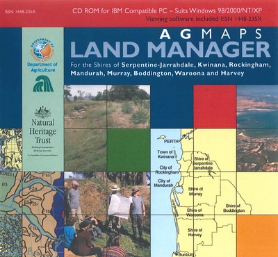
Agmaps land manager CD-ROM. Peel-Harvey region (western portion) - Shires of Kwinana, Rockingham, Serpentine-Jarrahdale, Mandurah, Murray, Boddington, Waroona & Harvey
Dennis van Gool, Ian Kininmonth, Luke Vernon, and Philip M. Goulding
This CD-ROM contains land resource maps and land management information relevant for the Peel-Harvey coastal catchment region. It includes Shires of Kwinana, Rockingham, Serpentine-Jarrahdale, Mandurah, Murray, Boddington, Waroona & Harvey It was produced by the Department of Agriculture with the assistance of Natural Heritage Trust ... Read more
-

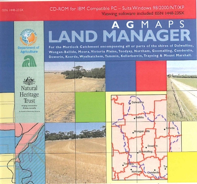
Agmaps land manager CD-ROM for the Mortlock Catchment. Encompasses parts of the shires of Dalwallinu, Wongan-Ballidu, Moora, Victoria Plains, Toodyay, Northam, Goomalling, Cunderdin, Dowerin, Koorda, Wyalkatchem, Tammin, Kellerberrin, Trayning & Mount Marshall
Luke Vernon, Dennis van Gool, Ian Kininmonth, Philip M. Goulding, and Henry Smolinski
This CD-ROM contains land resource maps and land management information relevant for the Mortlock Catchment which encompasses parts of the shires of Dalwallinu, Wongan-Ballidu, Moora, Victoria Plains, Toodyay, Northam, Goomalling, Cunderdin, Dowerin, Koorda, Wyalkatchem, Tammin, Kellerberrin, Trayning & Mount Marshall. It was produced by the ... Read more
-

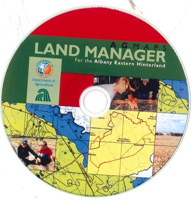
Agmaps land manager CD-ROM for the Albany eastern hinterland.
Tim D. Overheu, Angela Stuart-Street, and Ron Master
This CD-ROM contains land resource maps and land management information relevant for the Albany Eastern Hinterland catchment appraisal, 2003. It was produced by the Department of Agriculture. Also included on the CD is technical information which may now be out of date.
-

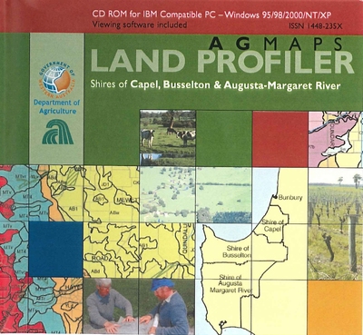
Agmaps land profiler CD-ROM. Shires of Capel, Busselton & Augusta-Margaret River
Peter J. Tille, Dennis van Gool, Ian Kininmonth, and Phil M. Goulding
This CD-ROM contains land resource maps and land management information relevant for the shires of Capel, Busselton & Augusta-Margaret River. It was produced by the Department of Agriculture. Also included on the CD is a lot of technical information which may now be out of ... Read more
-

Agmaps land manager CD-ROM for the Frankland-Gordon area
Tim D. Overheu, Angela Stuart-Street, and Ron Master
This CD-ROM contains land resource maps and land management information relevant to the Frankland-Gordon area (Catchment Appraisal). It was produced by the Department of Agriculture. Also included on the CD is technical information which may now be out of date.
-

Agmaps land profiler CD-ROM for the Peel region. Shires of Boddington, Kwinana, Mandurah, Murray, Rockingham and Serpentine-Jarrahdale
Dennis van Gool, Peter J. Tille, Ian Kininmonth, and Philip M. Goulding
This CD-ROM contains land resource maps and land management information for the Peel region. Shires of Boddington, Kwinana, Mandurah, Murray, Rockingham and Serpentine-Jarrahdale. It was produced by the Department of Agriculture Western Australia. Also included on the CD is technical information which may now be ... Read more
-

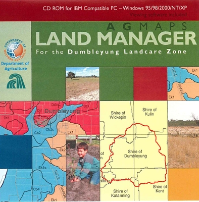
Agmaps land manager CD-ROM for Dumbleyung
Kim Brooksbank, Dennis van Gool, Werner Runge, and Ian Kininmonth
This CD-ROM contains land resource maps and land management information relevant to the Dumbleyung area. It was produced by the Department of Agriculture as part of a Natural Heritage Trust project. Also included on the CD is a lot of technical information which may now ... Read more
-

Agmaps land profiler CD-ROM. Shires of Waroona, Harvey and Dardanup
Dennis van Gool, Peter J. Tille, Ian Kininmonth, Philip M. Goulding, and Maryse Louise
This CD-ROM contains land resource maps and land management information for the shires of Waroona, Harvey and Dardanup. It was produced by the Department of Agriculture Western Australia. Also included on the CD is technical information which may now be out of date.
-

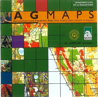
Agmaps - horticulture land capability maps, swan coastal plain, Lancelin to Augusta
Dennis van Gool and Werner Runge
This CD-ROM contains maps derived from the report "Coastal Land and Groundwater for Horticulture from Gingin to Augusta" prepared by Dennis van Gool and Werner Runge in May 1999 as part of a project funded by the National Landcare Program, Agriculture Western Australia and the ... Read more